WIND CHILL ADVISORY IN EFFECT FROM 1 AM TO 9 AM EST WEDNESDAY. Very cold wind chills expected. The cold wind chills will cause frostbite in as little as 30 minutes to exposed skin. Expect wind chills to range from 10 below zero to 15 below zero. The Advisory is in effect from 1 AM to 9 AM EST Wednesday. PRECAUTIONARY/PREPAREDNESS ACTIONS… A Wind Chill Advisory means that cold air and the wind will combine to create low wind chills. Frost bite and hypothermia can occur if precautions are not taken. Make sure you wear a hat and gloves.
Tonight
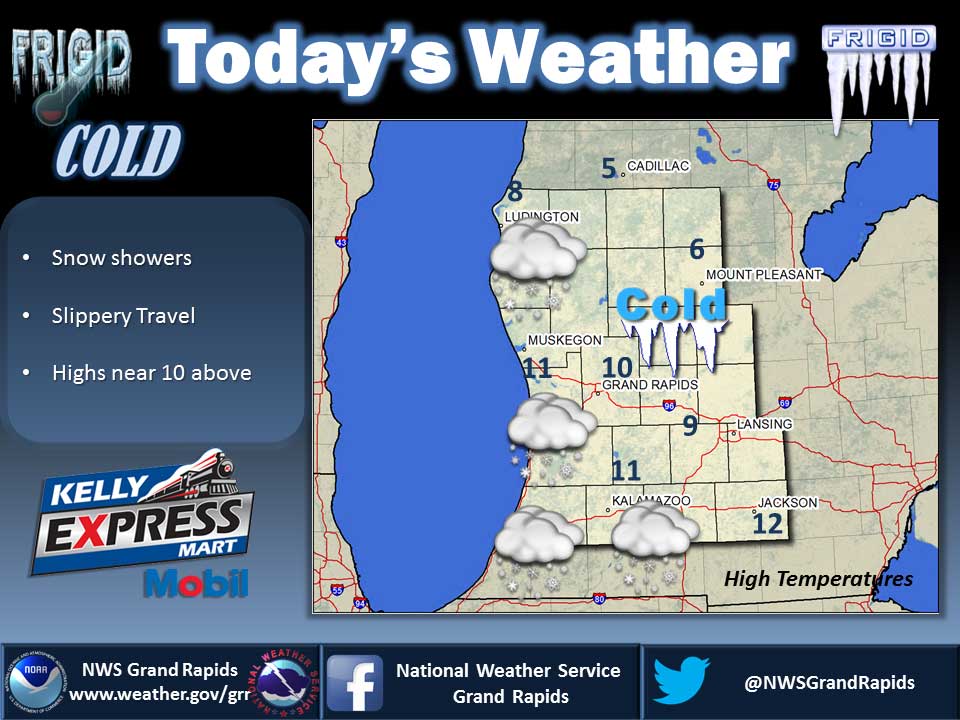
A 50 percent chance of snow showers, mainly between midnight and 3am. Mostly cloudy, then gradually becoming clear, with a low around -2. Wind chill values as low as -14. West wind 5 to 13 mph.
Wednesday
Sunny, with a high near 11. Wind chill values as low as -14. West northwest wind 6 to 9 mph.
Wednesday Night
Partly cloudy, with a low around 0. Light west northwest wind.
Thursday
A 30 percent chance of snow showers after 1pm. Mostly cloudy, with a high near 13. Wind chill values as low as -4. Calm wind becoming south southeast 5 to 7 mph in the morning.
Thursday Night
A 40 percent chance of snow showers. Mostly cloudy, with a low around 7. Southeast wind around 6 mph becoming light and variable.
Friday
A 20 percent chance of snow showers. Mostly cloudy, with a high near 18.
Friday Night
A 40 percent chance of snow showers. Mostly cloudy, with a low around 9.
Saturday
Mostly cloudy, with a high near 15.
Updated 12/26/17 7:32PM
Average high temperature for today is 32. Average low temperature is 19.
The high temperature in Jackson yesterday was 21 at 1:21 PM, the low was 12 at 11:59 PM.
0.16 inches of precipitation yesterday. Total precipitation for the month to date: 0.65 inches.
Sunrise today at 8:06 AM EST. Sunset at 5:12 PM EST.