A WINTER STORM WARNING NOW IN EFFECT FROM 1 PM THIS AFTERNOON TO 7 AM EST SUNDAY.
Heavy mixed precipitation expected beginning later this afternoon and particularly tonight. Total snow accumulations of up to 3 inches and ice accumulations of one tenth to three tenths of an inch. Winds gusting as high as 35 mph.
The Winter Storm Warning is in effect for Jackson, Van Buren, Kalamazoo, and Calhoun counties.
The timeframe for the warning has been pushed back: 1 PM this afternoon to 7 AM EST Sunday.
The National Weather Service says to expect power outages and tree damage due to the ice. Travel will be difficult to potentially impossible due to icing on roadways.
A Flood Advisory is now in effect for Jackson County.
Throughout this morning, Doppler radar and automated rain gauges indicated heavy rain which will cause minor flooding. Overflowing poor drainage areas will result in minor flooding in the advisory area.
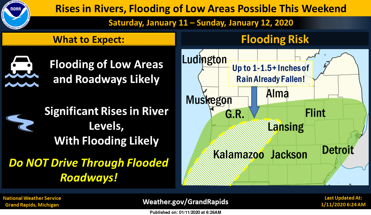
Over an inch of rain has already fallen in a band from Paw Paw and Kalamazoo to Hastings and those heavier amounts were moving east. Additional amounts up to one inch are expected.
The National Weather Service says this morning that while freezing rain is expected, an ice storm is not forecast for our area.
A Flood Warning for the Grand River at Jackson affecting Jackson County from Monday morning until further notice.
At 10:30 AM Friday the Grand River stage was 10.9 feet. Flood stage is 14.0 feet. Moderate flooding is forecast. The National Weather Service predicts the river will rise above flood stage by Monday morning and continue to rise to near 15.4 feet by Wednesday early afternoon. It is possible a new record crest could be reached by the middle of next week.
At 15.0 feet, expect moderate flooding of buildings along High Street, Lewis Street, and Losey Street. High water would disrupt traffic and damage residences.
This crest compares to the all-time record crest of 15.4 feet on June 25, 1968.