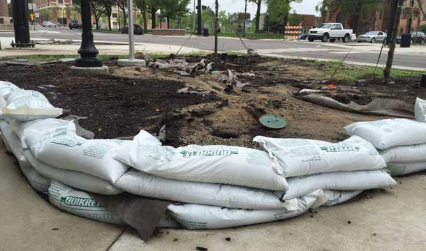
Sandbags protect electrical work in progress near the Consumers Energy Innovation Center downtown. ((JTV photo)
With the Grand River cresting at 15.12 feet Monday night – only four inches away from the record swell set in 1968 – Jackson engineers say they’re happy with how well the city’s stormwater system worked during the historic rain.
“According to the National Weather Service, it’s the kind of rain you only see once every 50 years,” city engineer Jon Dowling said.
The city of Jackson received nearly two inches of rain Friday evening in a very short amount of time, which raised the Grand River from 8.5 feet to 13 feet in only 30 minutes – a sign that Dowling said shows how well the city’s stormwater system is working.
“If the stormwater system wasn’t working properly you’d see the river staying low and the streets flooded with water during a storm,” Dowling said. “Once the river is cresting at a certain point though, before it can reset, that’s when flooding can occur.”
Dowling said Jackson and other city’s infrastructure isn’t built to take on as much water as it received the last four days, resulting in some flooding conditions on streets and in homes, but said that’s to be expected.
“The storms we’ve seen Friday and Monday night are an anomaly,” he said. “While it wasn’t a perfect situation for some residents and drivers, it could have been a lot worse.”
According the the National Weather Service, 5 inches of rainfall was recorded at Jackson County Airport Reynolds Field.
Since the low pressure system is bringing in tropical moisture into the Midwest, the National Weather Service predicts the Grand River will rest at 11.16 feet through Aug. 23, some three feet above the average for summer conditions.
“We’re keeping an eye on the storm systems and making sure we’re as prepared as we can be,” Dowling said.