(August 16, 2016 6:30 AM) The National Weather Service has issued a flood warning for the Grand River at Jackson affecting Jackson County. Heavy rain fell overnight across Jackson County. Jackson County Airport Reynolds Field received over 5 inches of rain. The heavy rain has now tapered off with additional light rain expected through the day. Additional rainfall totals should be less than a half of an inch.
The Flood Warning is in effect until this evening as minor flooding is occurring and record flooding is forecast.
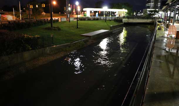
At 3:30 this morning the stage of the Grand River was 14.9 feet. Flood stage is 14.0 feet. The river is forecast to continue rising to near 15.5 feet by sometime this morning. The impact at 16 feet could cause major flooding of residences and buildings along West Trail Street, Lewis Street, High Street, Losey Street and in areas east of Grand River Bridge. Railroad tracks inundated in low lying areas along the river.
The previous record of crest was 15.4 feet set on June 25, 1968.
Rainfall overnight fell at the rate of one to two inches per hour. The two southern tiers of Michigan counties, especially Jackson County, were the hardest hit as the slow moving storm system parked overhead.
The Weather Service advises that even 6 inches of fast-moving flood water can knock you off your feet and a depth of 2 feet will float your car. Never try to walk… swim… or drive through such swift water. If you come upon flood waters… stop… turn around and go another way. This warning will be in effect until the river falls below its flood stage.
Flooding of low spots will continue today and tonight due to the heavy rains overnight. River and stream flooding will continue through the work week as it will take time for the water to move through the river systems.