(December 23, 2022 4:23 PM) The WINTER STORM WARNING now in effect has been extended to 7 AM EST Saturday.
* WHAT…Whiteout conditions expected at times due to falling and blowing snow. Total snow accumulations of 4 to 8 inches by Sunday morning. Wind gusts as high as 50 mph. Wind chills to 15 below are expected.
* WHERE…Portions of central and south central Michigan.
* WHEN…Until 7 AM EST Saturday.
* IMPACTS…Travel remains very difficult. Widespread blowing snow is significantly reducing visibility. Gusty winds could bring down tree branches.
* ADDITIONAL DETAILS…Wind driven lake effect snow showers will continue through Saturday as well as drifting snow and cold temperatures. Snowfall totals across the warning area will range from 4 to 8 inches. The main component to this event will be the wind. Winds gusting in excess of 40 mph will create occasional whiteout conditions. The changeable weather will make for treacherous travel. The worst of the conditions are expected later this morning through Saturday. Wind chills of 10 to 20 below will make the danger of frost bite very real.
PRECAUTIONARY/PREPAREDNESS ACTIONS…
If you must travel, keep an extra flashlight, food, and water in your vehicle in case of an emergency.



East Jackson Schools Welcome Therapy Dog “Ranger”
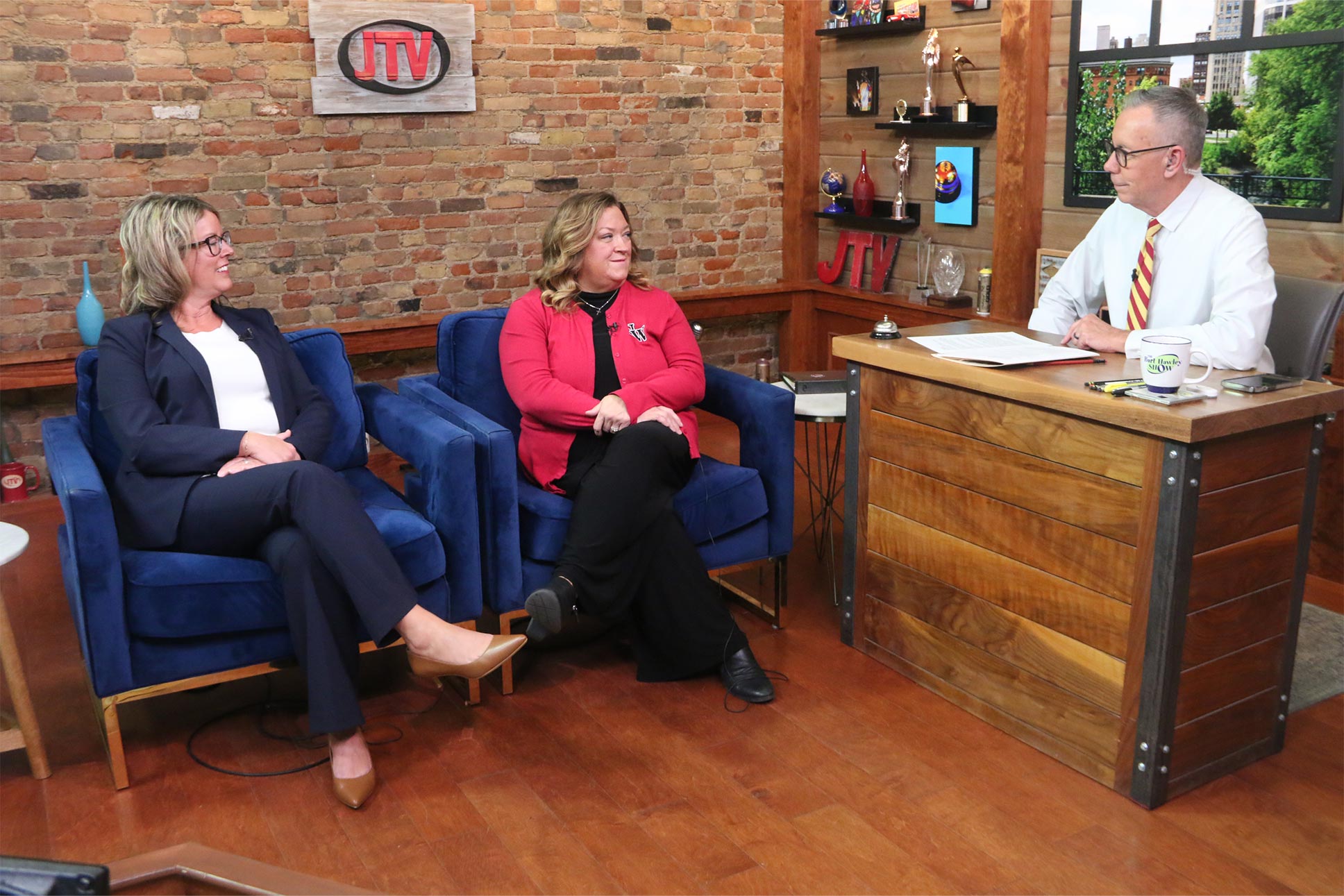
Area HR Professionals Hosting Mixer and HR Celebration

Jackson County Emergency Leaders Observe Emergency Preparedness Month

Texas Roadhouse Hosting Jeep Ambush Show This Saturday
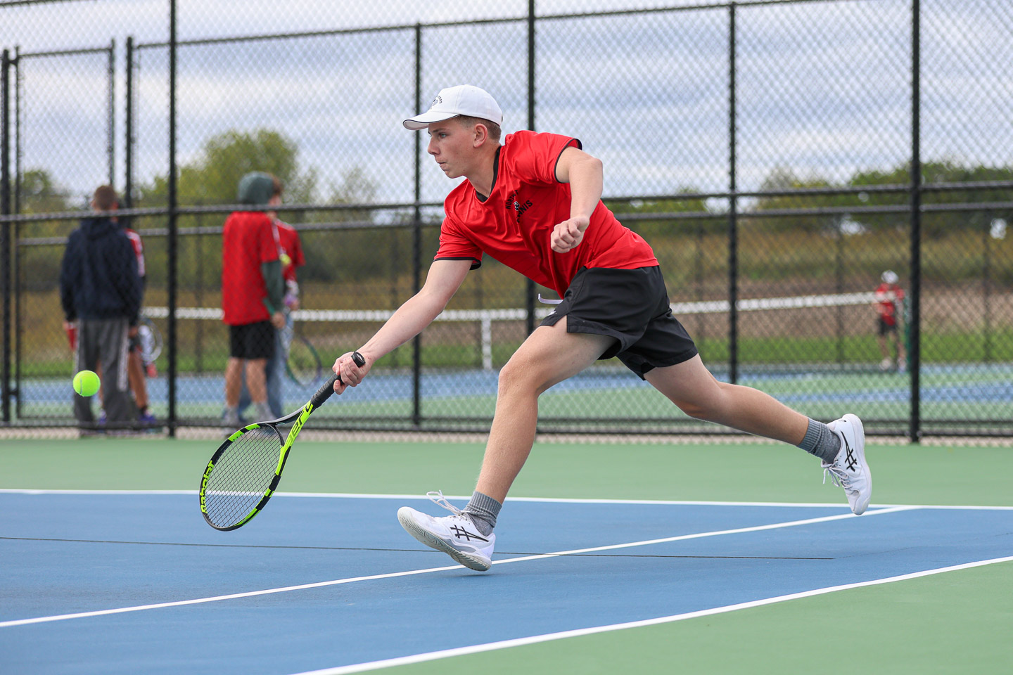
Boys Tennis Western vs Northwest, 9-21-26 | Photo Gallery

Cody Rowe, Jackson College Golf

Dave Rice, Insurance Circle Agency

Dr. Mohan Kulkarni, American Heart Association Annual Ball



 60°F
60°F