


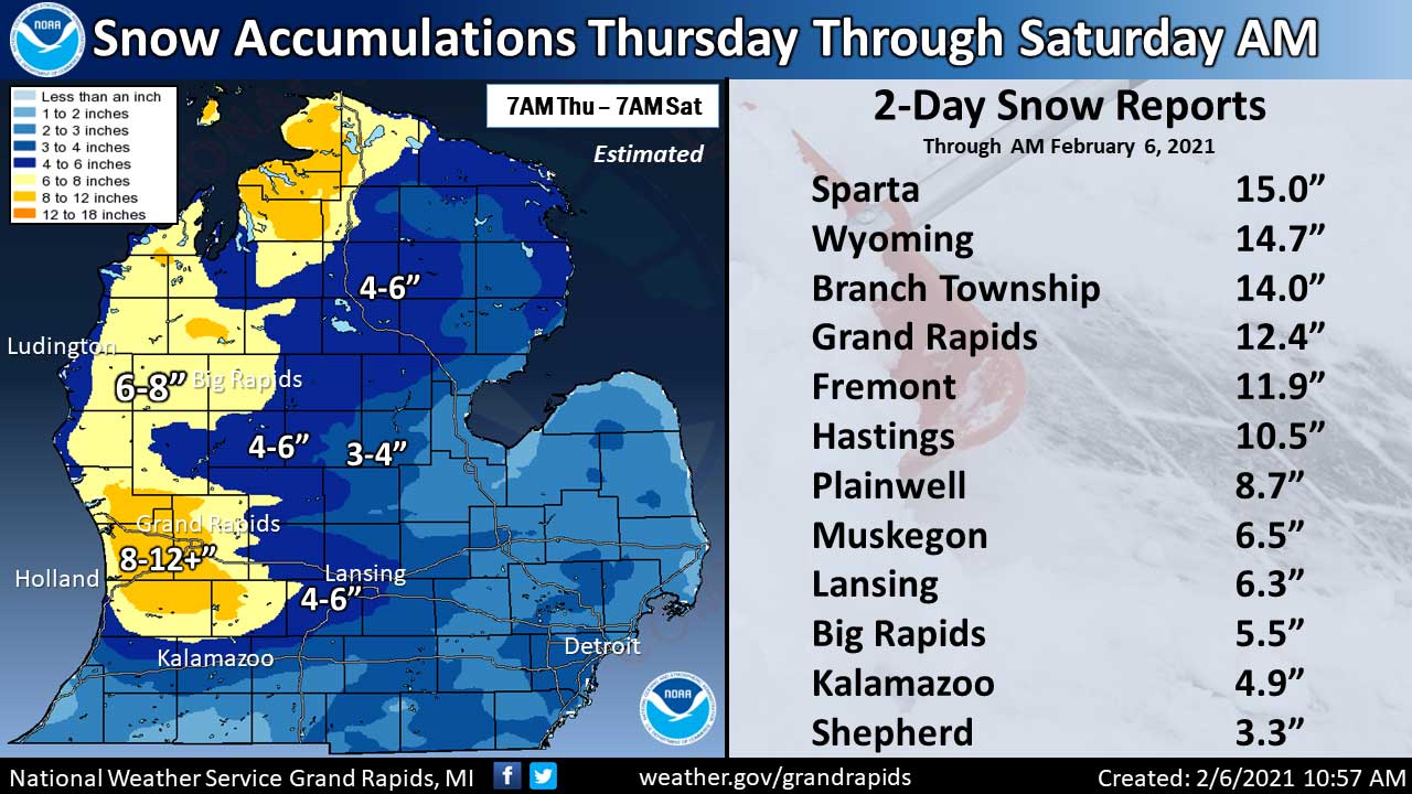
(February 6, 2021 8:50 AM) The National Weather Service has issued a WINTER WEATHER ADVISORY in effect from 7 PM this evening to 8 AM Sunday.
Snow expected with total snow accumulations of an inch or two possible. Poor travel conditions due to cold temperatures and falling snow.
The NWS says to plan on slippery road conditions. Snow will spread this evening, after dark. The snow will be the heaviest between 7 PM and midnight. Salt is less effective at temperatures in the single digits and teens which is what is forecast tonight. Poor travel conditions will result.
Snow is expected both today and tonight, increasing in intensity this evening. Snow accumulations will range from 1 to 4 inches by Sunday morning. A combination of snow and cold will result in hazardous travel conditions.
.


Steve Tucker Returns to the Michigan Theatre


Paragon End of Year Report with Ben Kriesch




Dave Welihan, Jackson County Veteran’s Council

Heather Kingsley, Oak + Iron

 57°F
57°F


