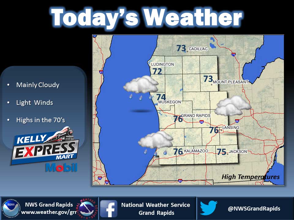
Off and On Showers
Overall expect cooler than normal temperatures and little if any precipitation into the coming weekend. By the middle of next week we will likely see some truly chilly temperatures, cooler than we have seen since at least May of this year. Wednesday should be the warmest day of the week with highs near 80. It will be much cooler Thursday into Friday behind the next cold front. Today: Areas of fog until midday. Mostly cloudy with a 50 percent chance of showers and thunderstorms. Highs in the mid 70s. Light winds. Tonight: Partly cloudy. A 20 percent chance of showers and thunderstorms in the evening. Areas of dense fog overnight. Lows in the upper 50s. Light winds. Wednesday: Mostly sunny. Areas of fog until midday. A slight chance of rain showers until midday, then a chance of rain showers and isolated thunderstorms in the afternoon. Highs in the upper 70s. Light winds becoming west 5 to 10 mph in the afternoon. Chance of rain 30 percent. Wednesday Night: Partly cloudy. Lows in the upper 50s. Northwest winds around 5 mph becoming north overnight. Thursday: Partly sunny with a 20 percent chance of rain showers until midday, then mostly sunny in…