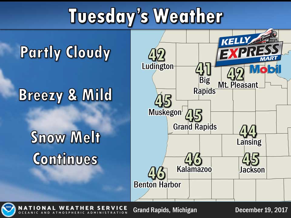
A breezy and mild day with highs in the 40s is in store before a cold front ushers in colder air tonight and Wednesday.
For the period Thursday through early Saturday, a frontal boundary will become nearly stationary over the area. Areas of low pressure moving along the front will bring occasional bouts of rain and snow.
Looking farther out, bitter cold arctic air is expected to arrive around Christmas. Frequent snow showers and below zero wind chills are likely once this air mass arrives.
Today
Partly sunny, with a high near 45. West southwest wind 13 to 16 mph.
Tonight
Mostly clear, with a low around 25. West wind 11 to 15 mph, with gusts as high as 23 mph.
Wednesday
Mostly sunny, with a high near 32. North wind 5 to 9 mph.
Wednesday Night
Mostly cloudy, with a low around 22. Light and variable wind becoming east southeast around 5 mph after midnight.
Thursday
Mostly cloudy, with a high near 35. Southeast wind 5 to 8 mph.
Thursday Night
A slight chance of rain and snow showers between 8pm and 2am, then a chance of snow showers. Cloudy, with a low around 30. Chance of precipitation is 40%.
Friday
A chance of snow showers before 8am, then a chance of rain. Cloudy, with a high near 43. Chance of precipitation is 50%.
Average high temperature for today is 33. Average low temperature is 20.
The high temperature in Jackson yesterday was 43 at 11:56 PM, the low was 37 at 12:47 AM.
0.02 inches of precipitation yesterday. Total precipitation for the month to date: 0.49 inches.
Sunrise today at 8:02 AM EST. Sunset at 5:08 PM EST.