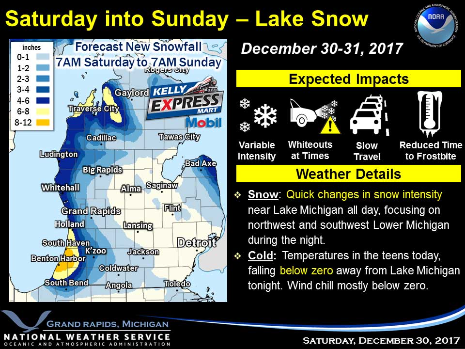
Snow showers will continue along the lakeshore through much of the weekend. Travel conditions will be dangerous at times. Inland the snow showers today could lead to some impacts with less accumulations the further inland you go. The arctic airmass will persist right through the weekend leading to very cold temperatures.
Today
Snow showers, mainly before 9am. Steady temperature around 12. Wind chill values as low as -5. Light west northwest wind becoming northwest 9 to 14 mph in the morning. Winds could gust as high as 24 mph. Chance of precipitation is 80%. Total daytime snow accumulation of less than a half inch possible.
Tonight
A 20 percent chance of snow showers before 8pm. Partly cloudy, with a low around -2. Wind chill values as low as -12. West northwest wind 6 to 9 mph.
Sunday
A 20 percent chance of snow showers after 2pm. Partly sunny, with a high near 11. Wind chill values as low as -8. Calm wind becoming north northwest around 5 mph.
Sunday Night
A 20 percent chance of snow showers before 2am. Mostly cloudy, with a low around -2. Wind chill values as low as -11. Calm wind becoming west around 5 mph after midnight.
New Year’s Day
Partly sunny, with a high near 11. West northwest wind 5 to 10 mph.
Monday Night
Partly cloudy, with a low around 1.
Tuesday
Partly sunny, with a high near 11.
Tuesday Night
Mostly cloudy, with a low around 5.
Wednesday
A chance of snow showers after 8am. Mostly cloudy, with a high near 16.
Average high temperature for today is 31. Average low temperature is 18.
The high temperature in Jackson yesterday was 17 at 4:28 PM, the low was 7 at 12:19 AM.
A trace of precipitation yesterday. Total precipitation for the month to date: 0.68 inches.
Sunrise today at 8:07 AM EST. Sunset at 5:15 PM EST.