We will get a break in this prolonged period of cold weather this coming week, this will start Sunday as a system tracking eastward across central Canada pulls milder Pacific air into this area. Meanwhile we have one more day of lake effect snow showers and highs in the teens. Sunday we start the transition to warmer weather for most of this coming week.
Today
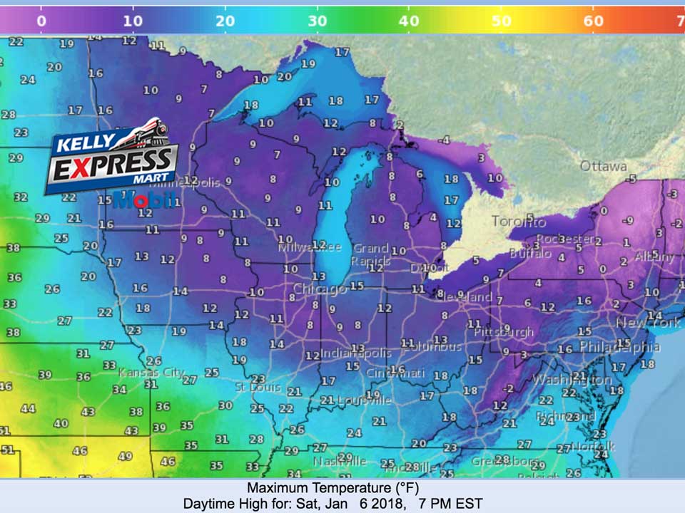
Partly sunny and cold, with a high near 10. Wind chill values as low as -12. West northwest wind around 6 mph.
Tonight
Increasing clouds, with a low around 2. Wind chill values as low as -13. South southwest wind 5 to 11 mph.
Sunday
A 40 percent chance of snow showers after 1pm. Cloudy, with a high near 27. Wind chill values as low as -12. South southwest wind 15 to 18 mph.
Sunday Night
Snow showers likely before 1am, then freezing drizzle likely, possibly mixed with snow showers. Cloudy, with a low around 25. Southwest wind around 16 mph. Chance of precipitation is 70%. New snow accumulation of less than a half inch possible.
Monday
Drizzle and freezing drizzle likely, possibly mixed with snow showers before 3pm, then a chance of rain and snow showers between 3pm and 4pm, then a chance of snow showers after 4pm. Cloudy, with a high near 35. West southwest wind 11 to 14 mph. Chance of precipitation is 30%.
Monday Night
A 30 percent chance of snow showers before 7pm. Mostly cloudy, with a low around 23.
Tuesday
Mostly sunny, with a high near 33.
Tuesday Night
Isolated snow showers after 1am. Mostly cloudy, with a low around 23.
Wednesday
A slight chance of snow showers before 11am, then a slight chance of rain and snow showers between 11am and 1pm, then scattered rain showers after 1pm. Mostly cloudy, with a high near 42.
Average high temperature for today is 31. Average low temperature is 17.
The high temperature in Jackson yesterday was 8 at 4:26 PM, the low was -11 at 4:02 AM.
0.00 inches of precipitation yesterday. Total precipitation for the month to date: Trace. Since December 1: 0.68 inches.
Sunrise today at 8:07 AM EST. Sunset at 5:21 PM EST.