Scattered showers and thunderstorms will continue to impact the region through the weekend, but the overall coverage should decrease each day as drier air gradually filters in from the northwest. Temperatures will be near to above normal through the Fourth of July holiday.
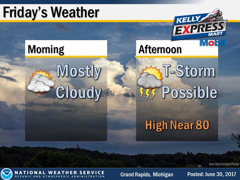
Today: Showers likely before 8am, then a chance of showers and thunderstorms after 2pm. Mostly cloudy, with a high near 83. Southwest wind 7 to 9 mph. Chance of precipitation is 60%. New rainfall amounts between a tenth and quarter of an inch, except higher amounts possible in thunderstorms.
Tonight: A 50 percent chance of showers and thunderstorms. Mostly cloudy, with a low around 67. South southwest wind around 8 mph.
Saturday: A 30 percent chance of showers and thunderstorms, mainly before 2pm. Mostly cloudy, with a high near 80. West wind 8 to 13 mph.
Yesterday’s high temperature in Jackson was 87 at 3:42 PM. The low was 65 at 4:34 AM.
Normal high for today is 82. The record low is , set in 1989. The record high is 95, set in 1964.
A trace of precipitation yesterday. Month to date rainfall: 0.92 inches.
Sunrise today at 6:04 AM EDT. Sunset at 9:18 PM EDT.