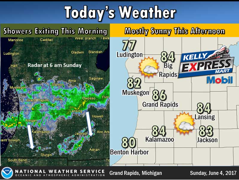
Decreasing cloudiness will occur today after scattered showers and thunderstorms end later this morning. It will be quite warm with highs in the mid 80s inland from Lake Michigan. A cold front will move south through the state tonight and usher in a much cooler air mass for Monday and Tuesday.
Today: A 30 percent chance of showers and thunderstorms, mainly before 2pm. Partly sunny, with a high near 83. West wind 11 to 15 mph, with gusts as high as 25 mph.
Tonight: A 10 percent chance of showers and thunderstorms before 8pm. Partly cloudy, with a low around 59. West wind 6 to 8 mph.
Monday: Mostly sunny, with a high near 72. North wind 6 to 11 mph.
Yesterday’s high temperature in Jackson was 83 at 3:05 PM. The low was 51 at 3:25 AM.
Normal high for today is 75. The record low is 34, set in 1988. The record high is 101, set in 1971.
No precipitation yesterday. Month to date rainfall: 4.21 inches.
Sunrise today at 6:03 AM EDT. Sunset at 9:10 PM EDT.