

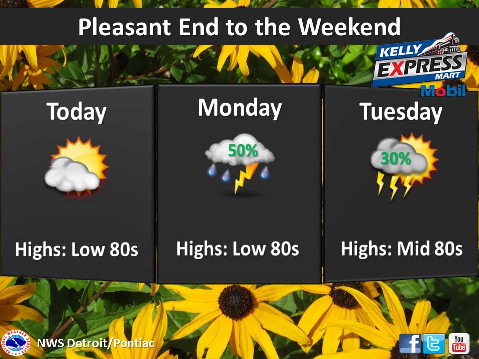
An area of high pressure over the Central Appalachians will track slowly east through today. This system will act to keep the weather mainly dry for today over Southwest Lower Michigan. Then an area of low pressure moves into Southern Lower Michigan tonight before heading into the Appalachians for Tuesday. A period of unsettled weather will accompany the passage of this system here in Michigan as a result.
Today: Mostly sunny, with a high near 82. Light west southwest wind becoming west 5 to 10 mph in the morning.
Tonight: A 40 percent chance of showers and thunderstorms after 2am. Mostly cloudy, with a low around 63. South southwest wind 7 to 9 mph.
Monday: Showers and thunderstorms likely, mainly after 2pm. Mostly cloudy, with a high near 83. South southwest wind 7 to 10 mph. Chance of precipitation is 60%. New rainfall amounts between a quarter and half of an inch possible.
Yesterday’s high temperature in Jackson was 77 at 4:28 PM. The low was 59 at 11:58 PM.
Normal high for today is 83. The record low is 47, set in 1963. The record high is 96, set in 1988.
0.0 inches of precipitation yesterday. Month to date rainfall: 0.67 inches.
Sunrise today at 6:10 AM EDT. Sunset at 9:16 PM EDT.