(UPDATED December 21, 2022 11:50 AM) The National Weather Service in Grand Rapids has issued a WINTER STORM WARNING in effect from Thursday afternoon through Saturday morning for Jackson County and Central and Southern Lower Michigan.
The Weather Service has issued a BLIZZARD WARNING for the West Michigan counties along the Lake Michigan coast.
The NWS says a major winter storm will emerge into the Plains from the Rockies on Wednesday night and rapidly move into the Great Lakes on Thursday. Widespread snow is expected to develop Thursday afternoon and evening. Heavy snow will occur Thursday night and continue into Friday. A surge of wind will be added to the mix on Friday and Friday night with gusts over 40 mph likely and over 50 mph very possible. Heavy snow and winds of that magnitude set the stage for the potential of blizzard conditions. The worst of the weather should be Friday and Friday night as snow and blowing snow create whiteout/blizzard conditions. You are urged to complete travel on Thursday as conditions on Friday are expected to be treacherous to life threatening at times.
This afternoon, the NWS upgraded the WATCH to a WARNING with these details:
* WHAT…Heavy snow expected. Total snow accumulations of 6 to 10 inches. Winds gusting as high as 45 mph.
* WHERE…Portions of central and south central Michigan.
* WHEN…From 4 PM Thursday to 1 AM EST Saturday.
* IMPACTS…Travel will be very difficult to impossible. Widespread blowing snow will significantly reduce visibility.
The hazardous conditions will mainly impact Friday and Saturday travel. Power outages are possible.
* ADDITIONAL DETAILS…While the snow will start by mid afternoon on Thursday, the strong winds will not start until Friday morning. It is then that conditions will become dangerous due to low wind chills, blowing snow, and very low visibilities.
Power outages are possible.
PRECAUTIONARY/PREPAREDNESS ACTIONS…
If you must travel, keep an extra flashlight, food, and water in your vehicle in case of an emergency.

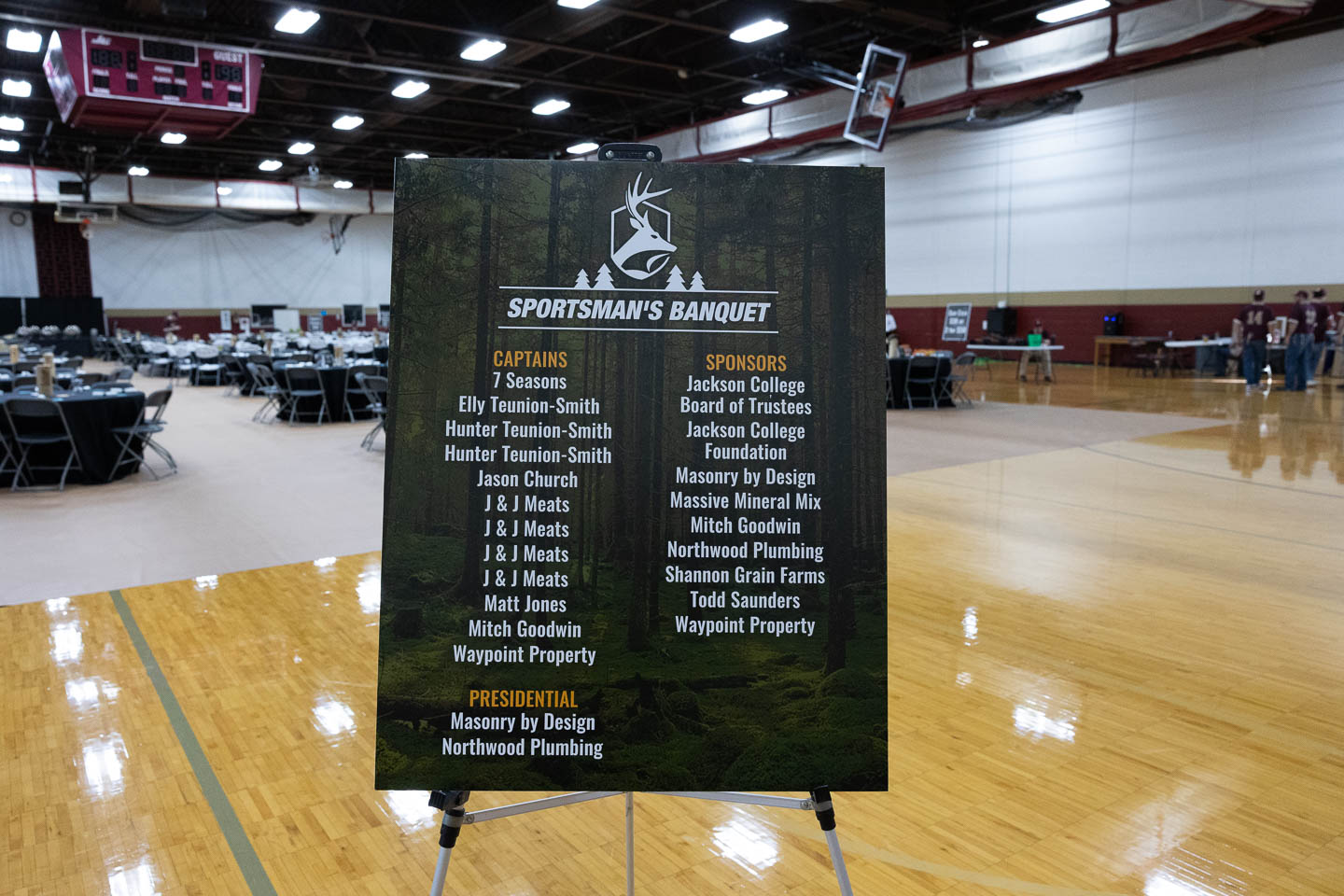
Jackson College Sportsman Banquet, 02-14-2026 | Photo Gallery

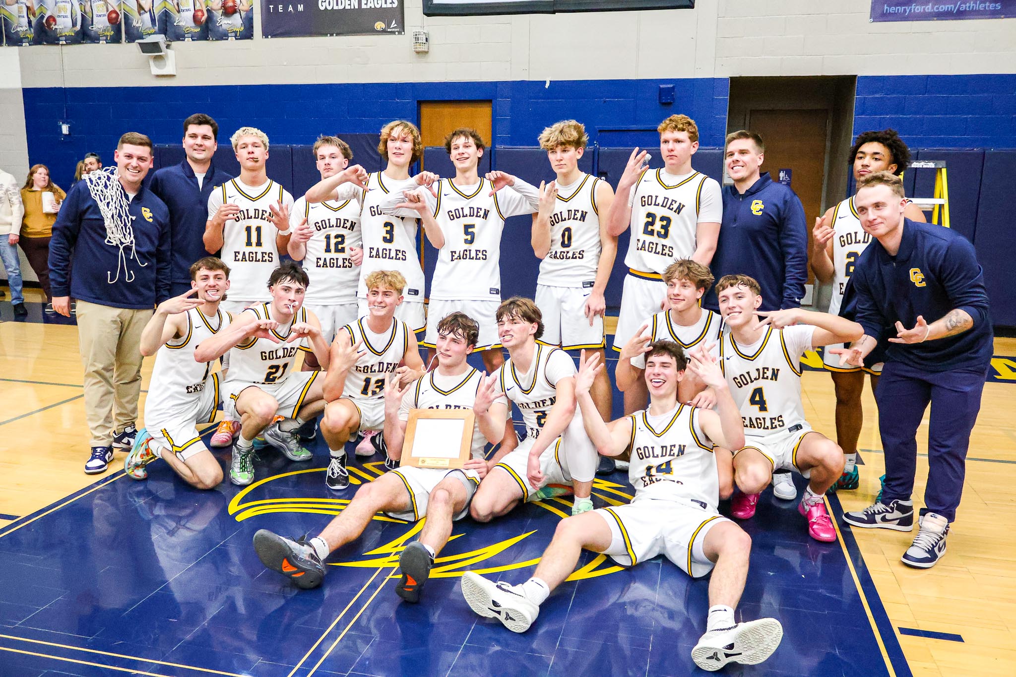
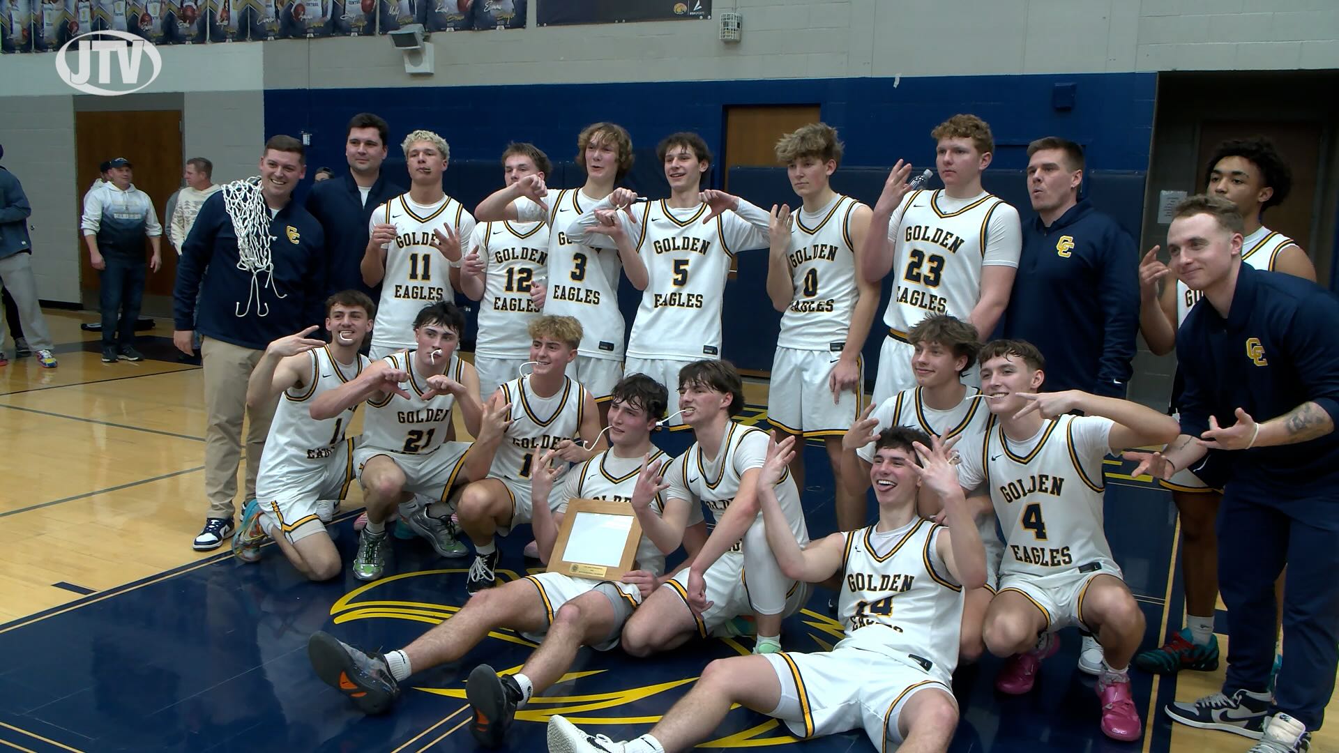
Boys Basketball Chelsea vs Jackson, 2-13-26 | Photo Gallery

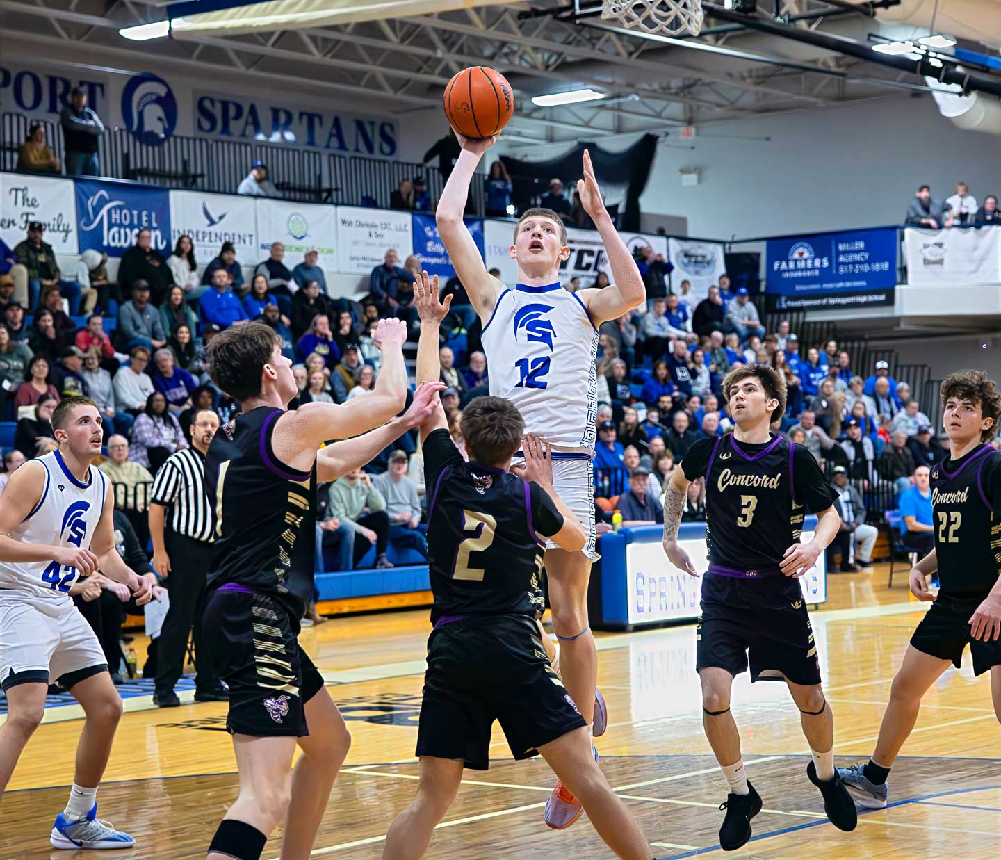
Boys Basketball Concord at Springport, 2-13-2026 | Photo Gallery