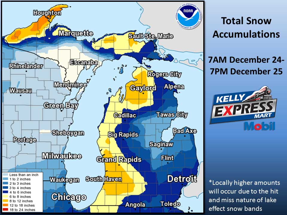
Low pressure moving through the Ohio Valley will bring snow to Lower Michigan today, then arctic air will bring cold temperatures and lake effect showers through much of this week.
Tonight
Snow showers likely, mainly before 11pm. Mostly cloudy, with a low around 18. West wind 9 to 11 mph, with gusts as high as 22 mph. Chance of precipitation is 60%. Total nighttime snow accumulation of around 2 inches.
Christmas Day
Snow showers likely. Patchy blowing snow after 11am. Mostly cloudy, with a temperature rising to near 22 by noon, then falling to around 15 during the remainder of the day. Wind chill values as low as -2. Breezy, with a west wind 14 to 20 mph, with gusts as high as 33 mph. Chance of precipitation is 70%. New snow accumulation of around an inch possible.
Monday Night
A 30 percent chance of snow showers, mainly before 1am. Mostly cloudy, with a low around 6. Wind chill values as low as -7. West wind 9 to 17 mph, with gusts as high as 31 mph.
Tuesday
A 20 percent chance of snow showers. Mostly cloudy, with a high near 12. Wind chill values as low as -6. West wind 7 to 9 mph.
Tuesday Night
Mostly cloudy, with a low around 3. West wind 3 to 7 mph.
Wednesday
Partly sunny, with a high near 12.
Average high temperature for today is 32. Average low temperature is 19.
The high temperature in Jackson yesterday was 36 at 3:30 PM, the low was 26 at 11:59 PM.
A trace of precipitation yesterday. Total precipitation for the month to date: 0.49 inches.
Sunrise today at 8:05 AM EST. Sunset at 5:10 PM EST.