

Cloudy with Periods of Drizzle
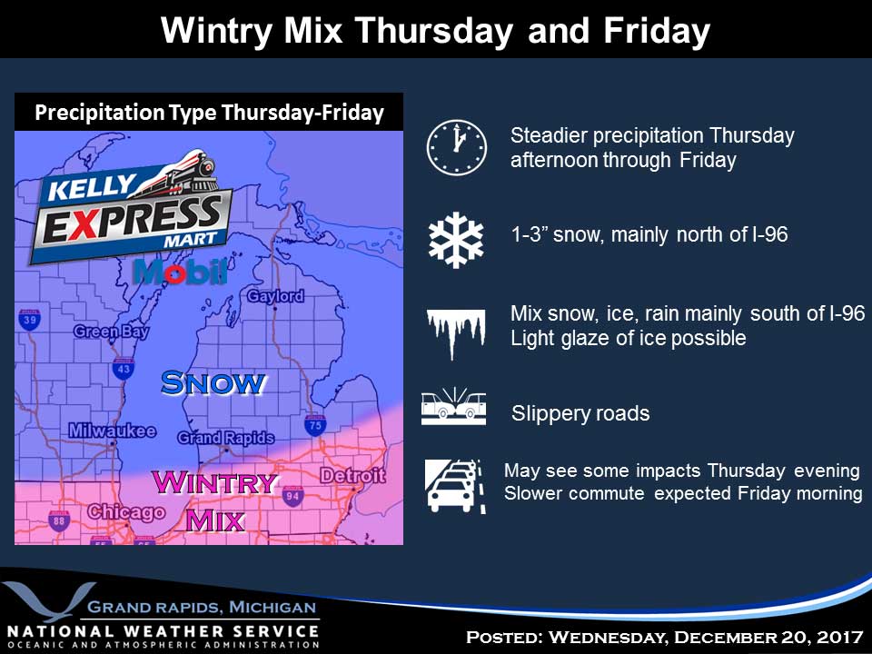
Low pressure passing south of Michigan will produce areas of light snow and freezing drizzle this morning. Some roads may be slick with black ice during the morning commute. Progressively colder air will gradually filter into the region over the weekend, and highs much of next week will only be in the teens. The colder air will result in occasional lake effect snow showers with some light accumulations likely. Today A chance of drizzle or freezing drizzle before 9am, then a chance of drizzle between 9am and 1pm. Cloudy, with a high near 37. Light and variable wind. Friday Night Cloudy, with a low around 28. Calm wind becoming west northwest around 5 mph after midnight. Saturday Mostly cloudy, with a high near 34. North northwest wind 5 to 9 mph. Saturday Night Mostly cloudy, with a low around 20. Northwest wind 5 to 8 mph. Sunday Snow showers likely, mainly after 1pm. Mostly cloudy, with a high near 26. Chance of precipitation is 60%. New snow accumulation of less than one inch possible. Sunday Night A 30 percent chance of snow showers, mainly before 1am. Mostly cloudy, with a low around 17. Christmas Day A slight chance of snow…